Olympic National Park from Port Angeles
We knew Olympic National Park was going to be pretty interesting, so we allotted quite a bit of time for it. We started off in the Port Angeles area for several days from where we saw sites along the northern and northwestern part of the park.
DISCLAIMER: Never Stop Adventuring contains links to affiliate websites and is a member of the Amazon Services LLC Associates Program. When you click on and/or make a purchase through an affiliate link placed on our website, we may receive a small commission or other form of compensation at no additional cost to you. Please read our disclaimer for more info.
Hurricane Ridge
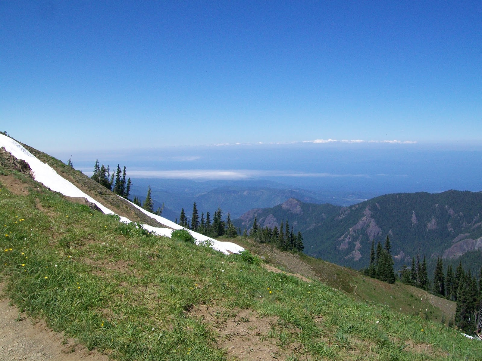
Port Angeles sits on the Strait of Juan de Fuca, and on a clear day you can see across the strait into Canada. This was especially true on the day we went up to Hurricane Ridge.
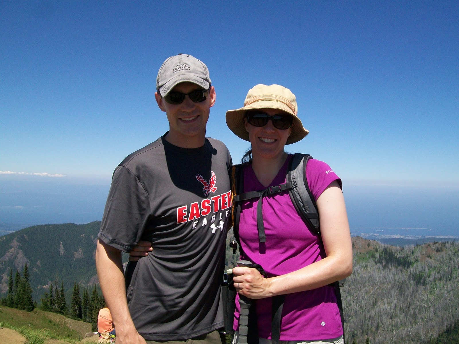
We hiked to the top of Hurricane Hill for some great views down to Port Angeles, of Mount Olympus and the rest of the Olympic range, and across to British Columbia.


Cape Flattery
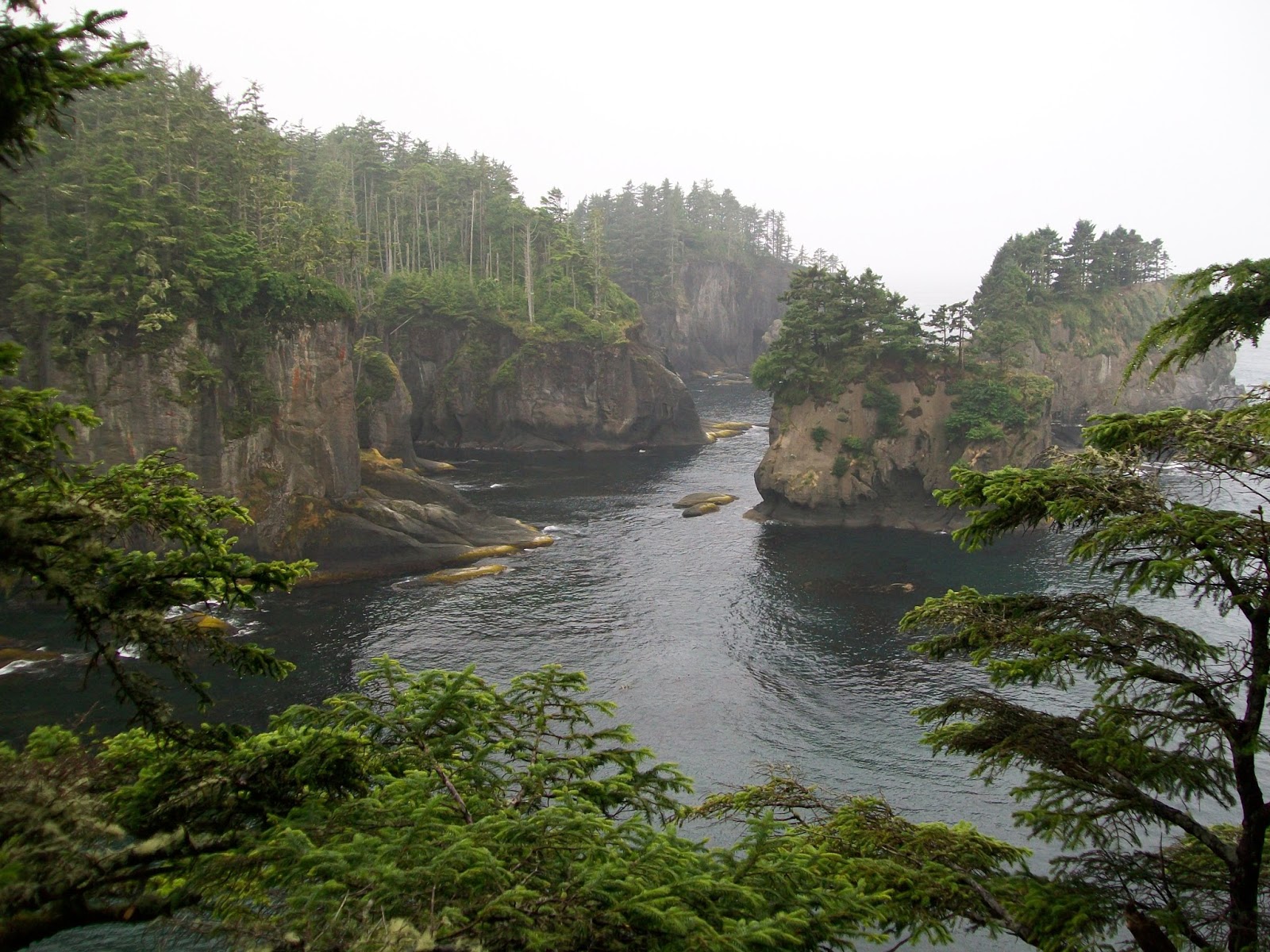
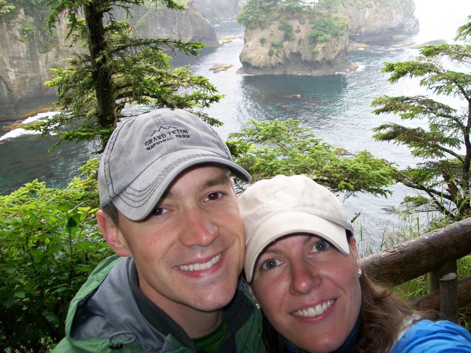
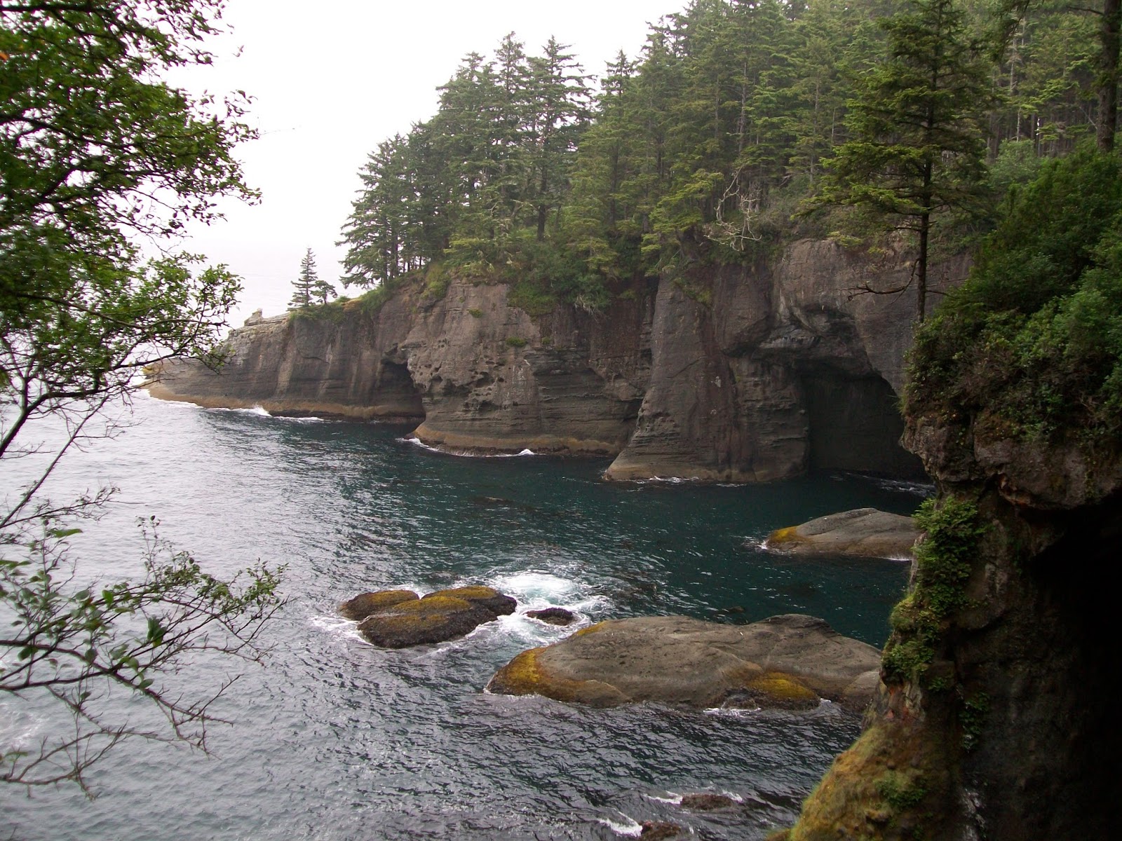
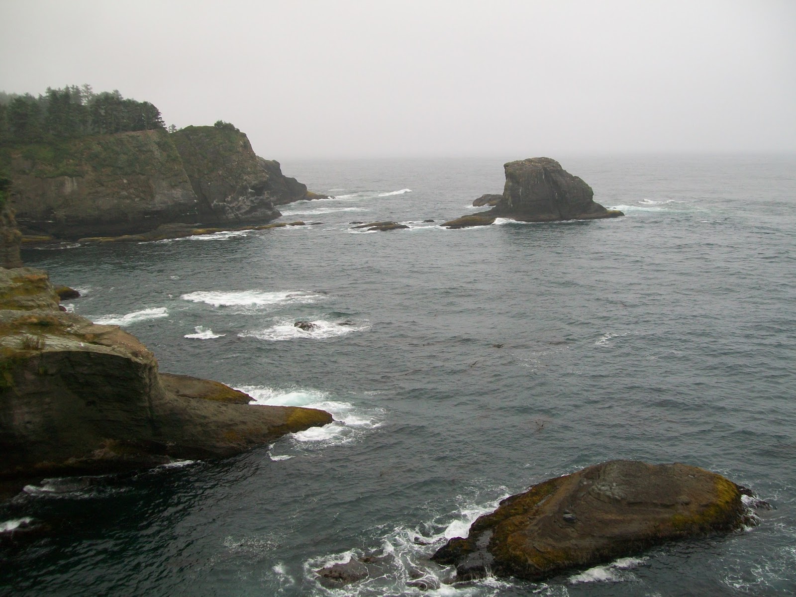
We also day-tripped up to Cape Flattery, which is the most northwestern point of the contiguous U.S. Although it was sunny everywhere else, once we headed out to the cape, a thick fog completely enveloped us. Still, there was enough of a view.
The cape is on the Makah Indian Reservation so you have to stop at one of several locations to buy a recreation pass if you want to hike on any of the trails or do other recreational activities. You can also buy it online but you do have to print it out. The cost is currently $20 per vehicle and is good for the year. The wind howled and the waves whipped against the coastline. Pretty neat to have stood here.


Shi Shi Beach
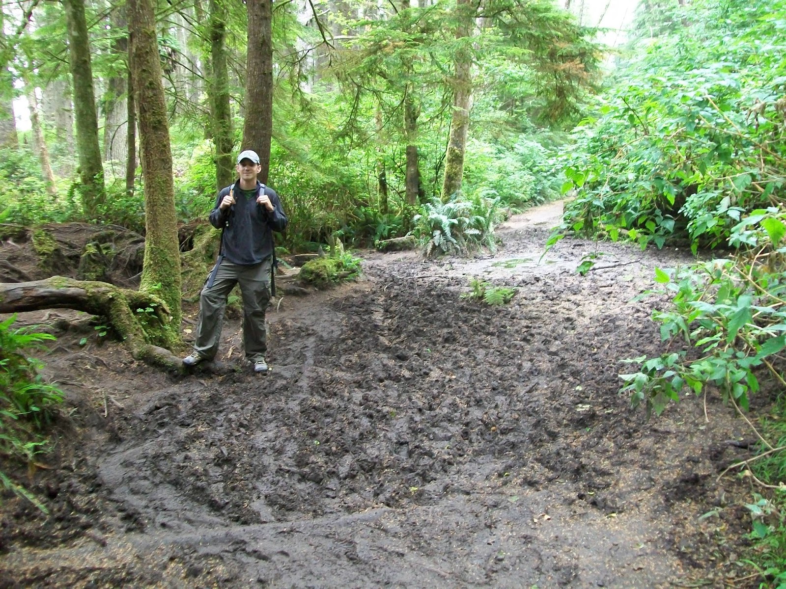
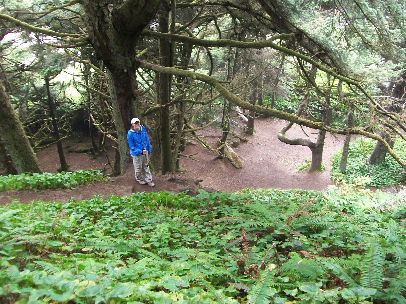
While there, we also hiked out to Shi Shi beach. Near the beach, the trail crosses back into National Park property. There is a pretty steep series of switchbacks to get down to the beach, but this part looked pretty magical, with the trees arching and creating a darker tunnel like section along the base of the hill before you broke out onto the beach.


Sol Duc Area
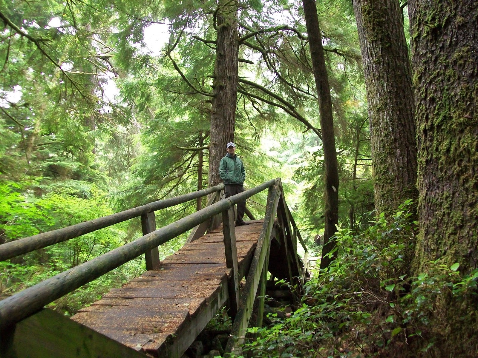
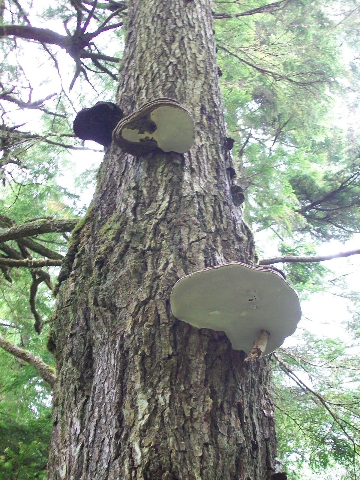
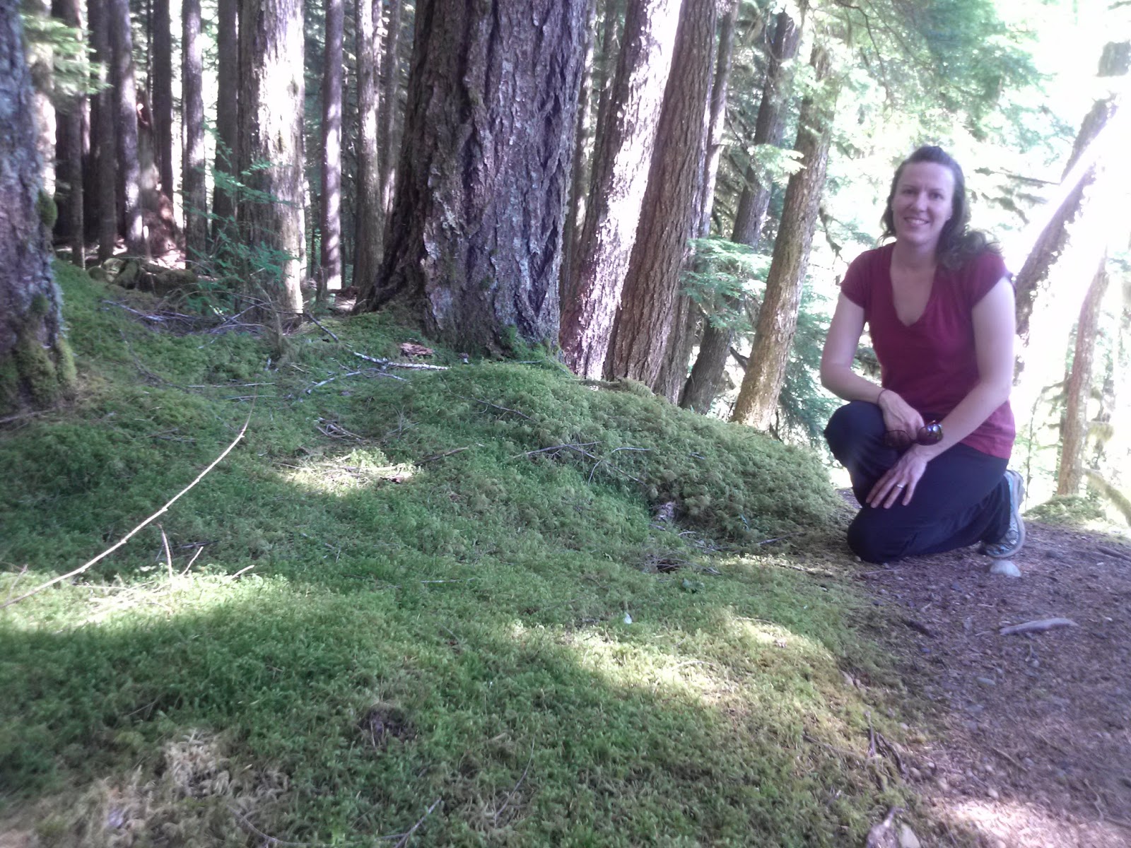
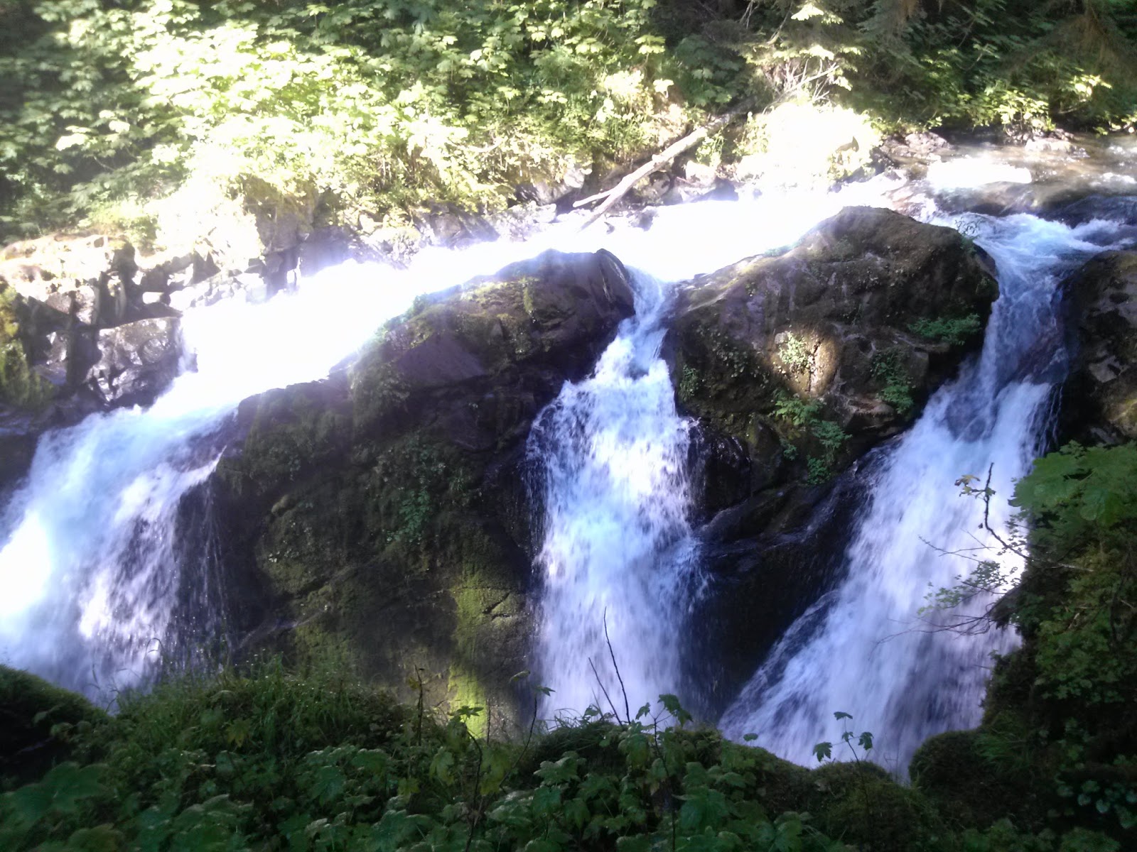
Going out to the Sol Duc area of the park was a quick afternoon jaunt on a slower day. The way the light filtered through the trees gave it all a different atmosphere than we usually see earlier in the day. We walked the Ancient Groves trail, with trees towering above us, growing higher and higher still, and also the trail out to the Sol Duc Falls.
Ancient Groves


Sol Duc Falls


Ozette Area
Ozette Triangle Hike
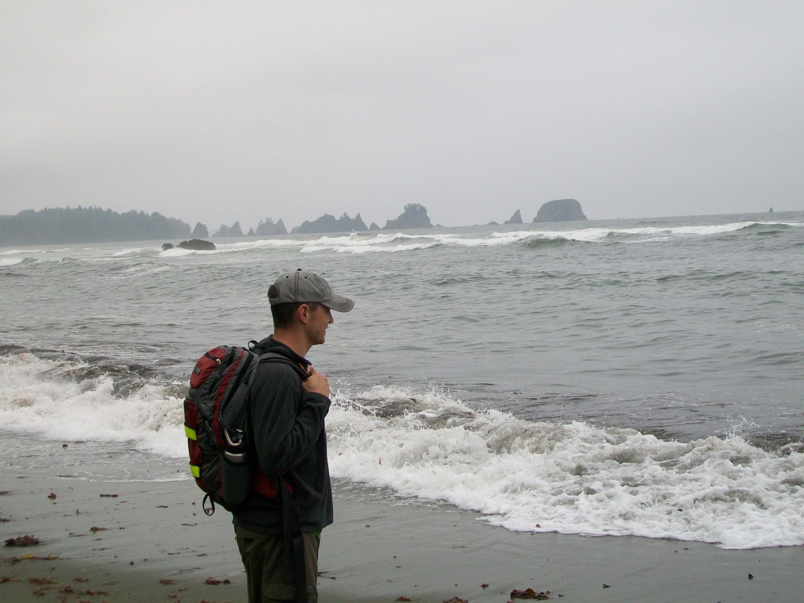
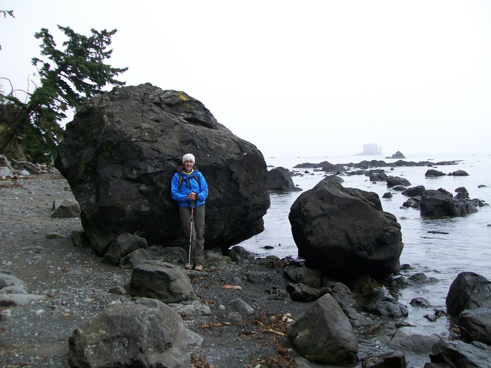
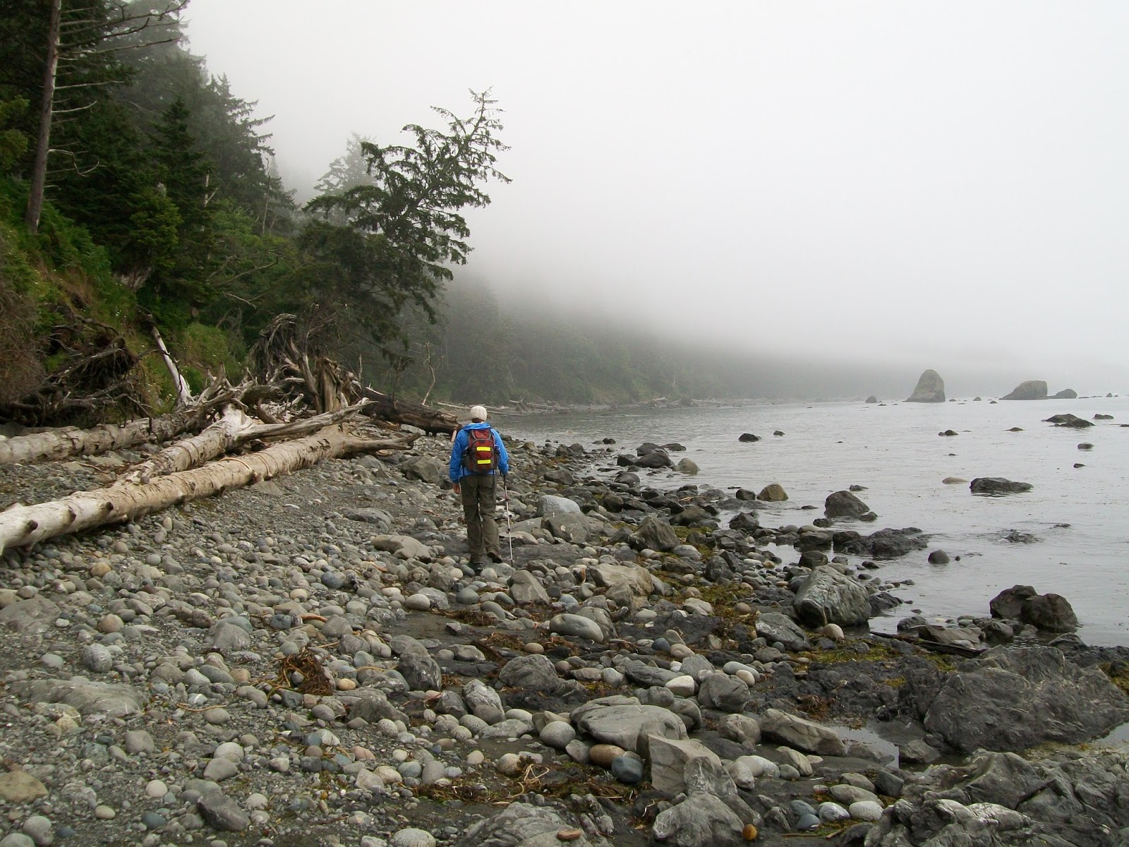
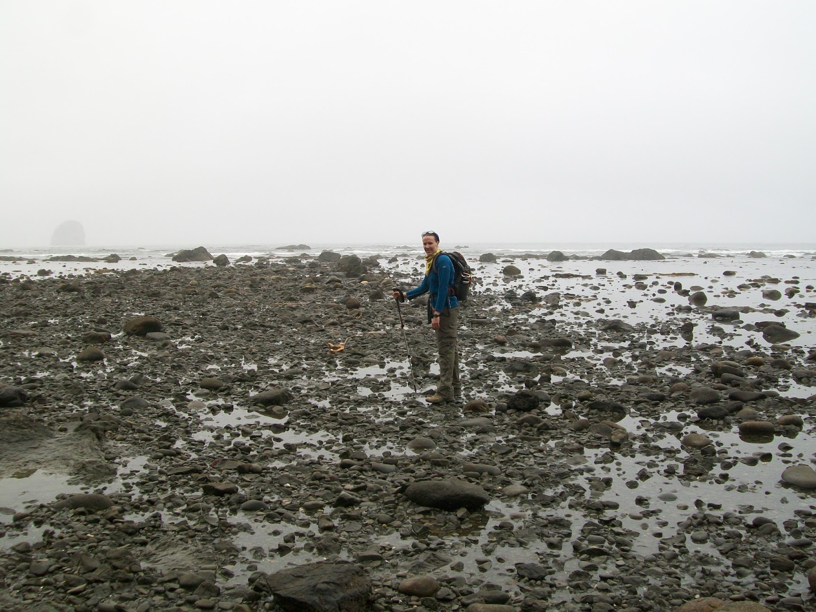
In the Ozette area, we hiked first out to Cape Alava (westernmost point of the contiguous U.S.), then turned south and continued along the beach for several miles. Then, upon arrival at Sand Point, hiked this trail back to the start, completing what is called the Ozette Triangle or Ozette Loop.
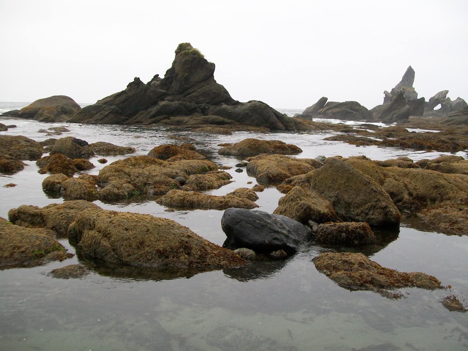
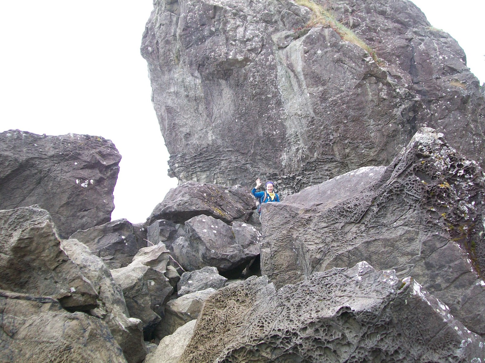
The tide was going out as we hiked, so we could see more and more of the exposed rocky beach as we hiked. The rocky beach here was very moody and pretty and we did see some creatures among the rocks as the tide retreated.
However, we discovered later that the best beaches for exploring the tide pools were Beach 3 and Beach 4 in the Kalaloch area.
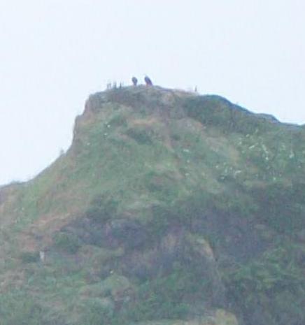
The best part about the hike, was that this beach is home to many bald eagles. We had both only seen bald eagles in zoos or the occasional one soaring high overhead. Here, we counted 6 or 7 during the day, often sitting on the rocky sea stacks jutting out of the water or flying around.
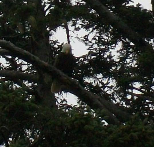
There was one in particular that flew along the beach in the same direction as we were traveling for some time, perching in trees along the way. It even swooped out to the ocean and grabbed something in its talons, which it then devoured in the high branches of a tree.
This was really spectacular and we spent quite some time observing and also using our binoculars to get closer looks.


What To Do Next
When you’ve thoroughly explored the inland area, head over to the Olympic National Park coast for beaches, coastal hikes, and tidepools filled to the brim with sea creatures!